Not everything automatically becomes a tradition. You can do a thing once, have a good time (or not), then never do it ever again. There’s no such thing as a “first annual”, you need a second to make it an annual affair.
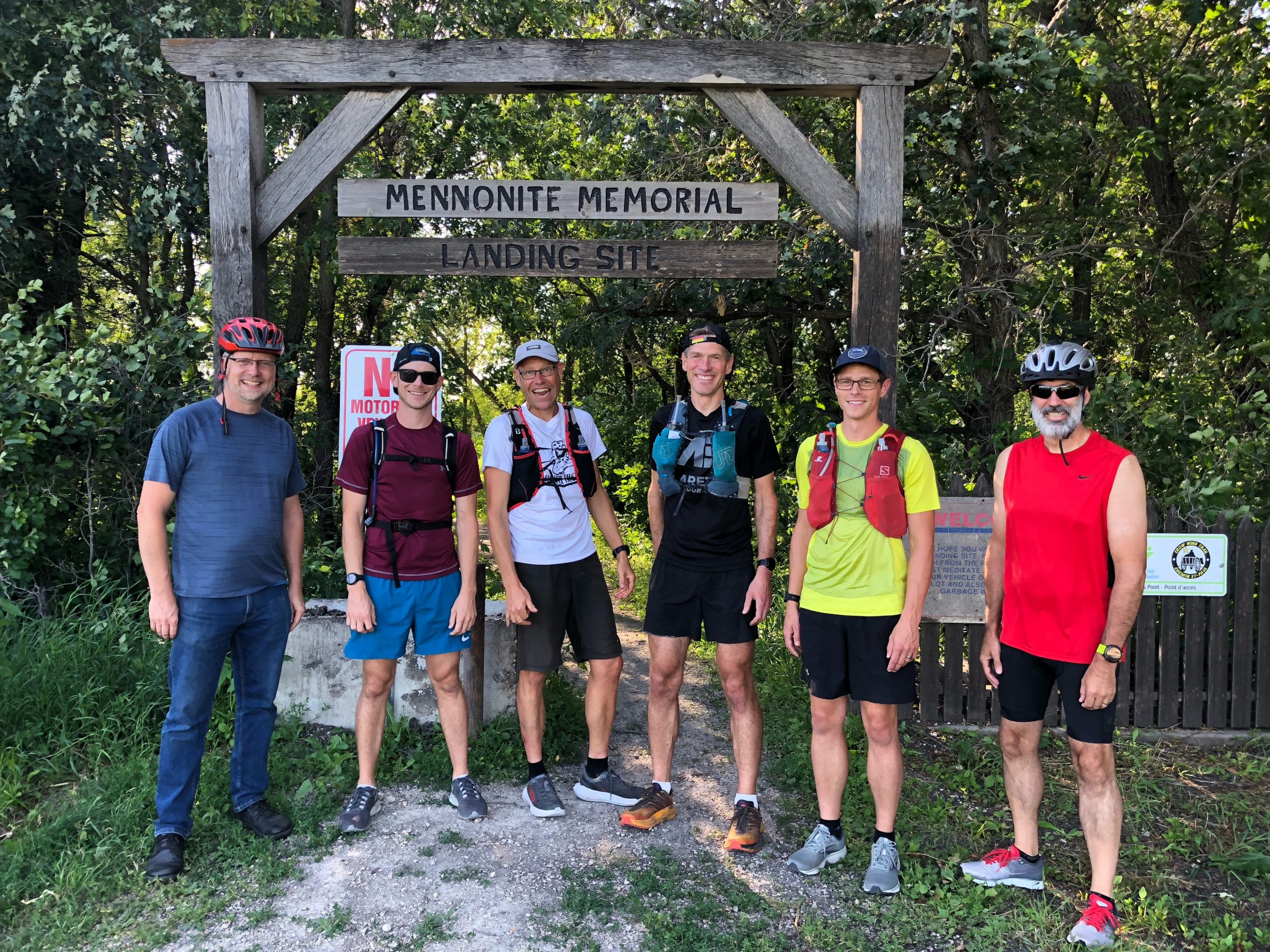
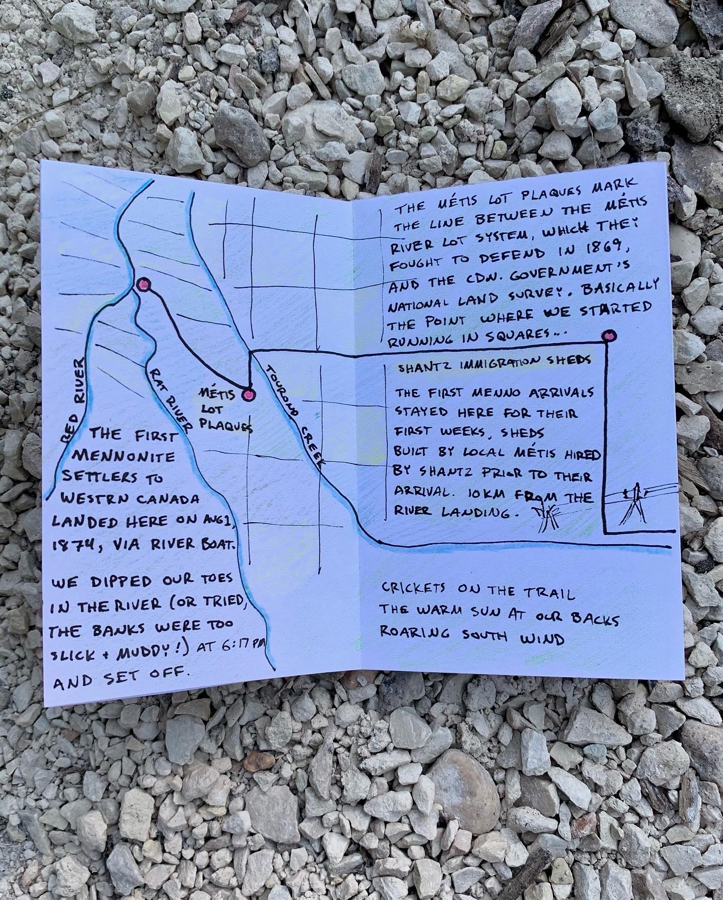
Back in 2020, when we were all going stir-crazy and making up our own crazy adventures, our running group drew a line on a map between The Mennonite Landing on the Red River and Steinbach, MB (“home”), and decided to run from there to here on the anniversary of the arrival of the first Mennonites to western Canada.
The Mennonite Marathon was born.
The next year, Greg and Steffan decided to carry on the tradition by running “jahtzeed”, west from the Red River to Winkler.
This year, well, looks like we have ourselves a tradition…
The Peace Trail
About a year ago I first heard about the proposed Peace Trail, an initiative to create an historic trail following roughly the same course we plotted back in 2020. The posts for the first trail markers are in the shop as we speak, getting prepped to mark the trail. And in a couple weeks, a group of runners and cyclists will embark the trail’s first official event, the Peace Trek, charting their way across the prairies in support of the MHV and Eden Health.
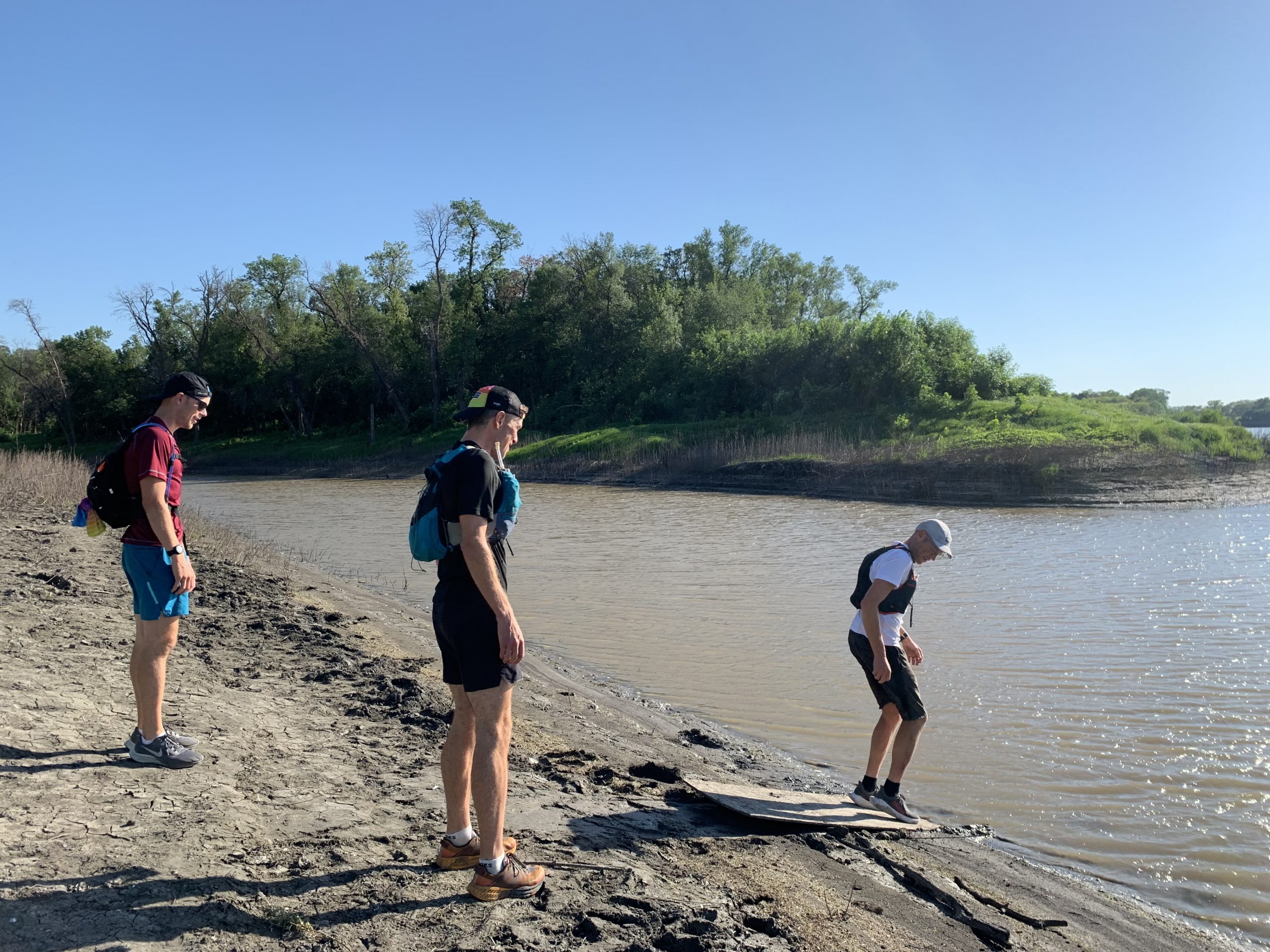
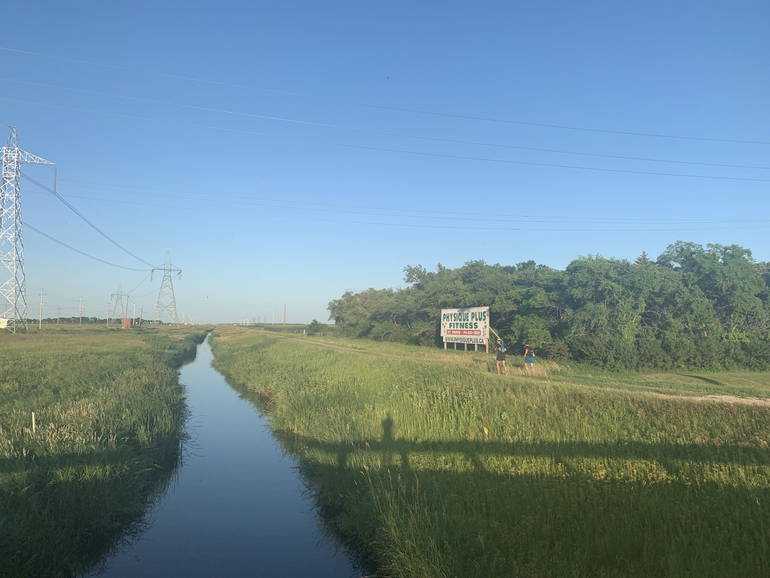
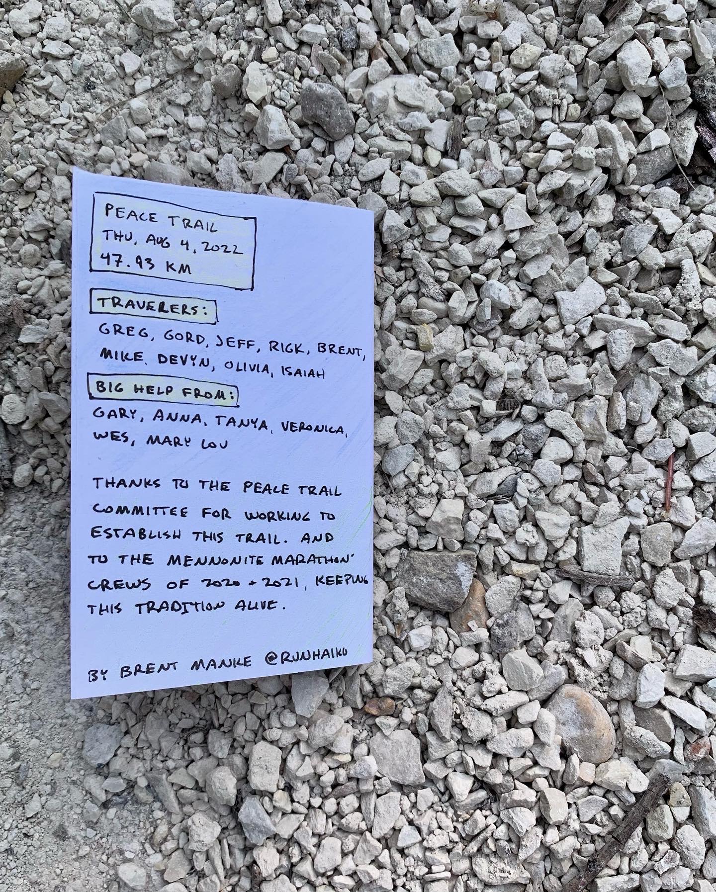
On Thursday, Aug 4, after the work day had wrapped up, we made the long drive west, only to run all the way home again, along the new work-in-progress trail. Call it recon, call it crazy, call it tradition.
A new home in an old place
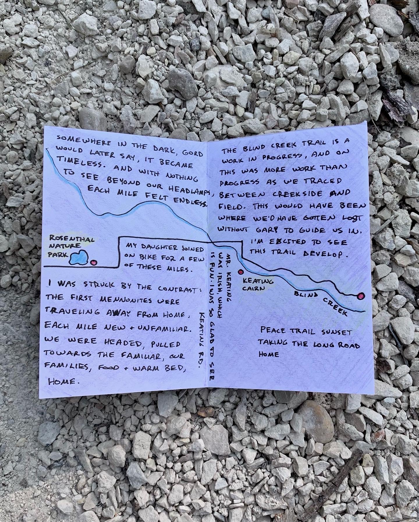
In 2020 as we made our way across the open prairie, across land broken through the sweat and tears of my ancestors, I couldn’t shake the question, “What did all this look like before the Mennonites showed up?”
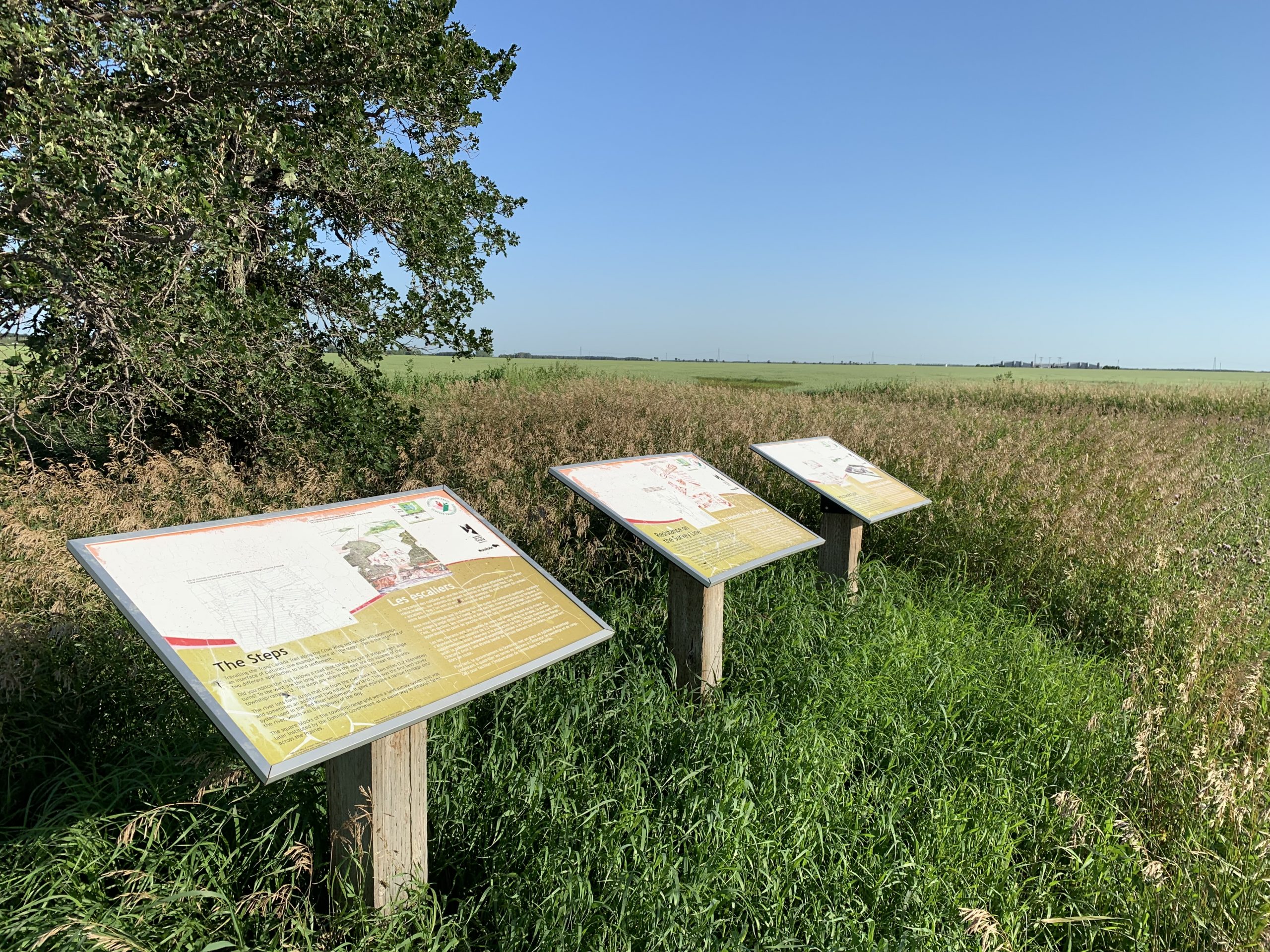
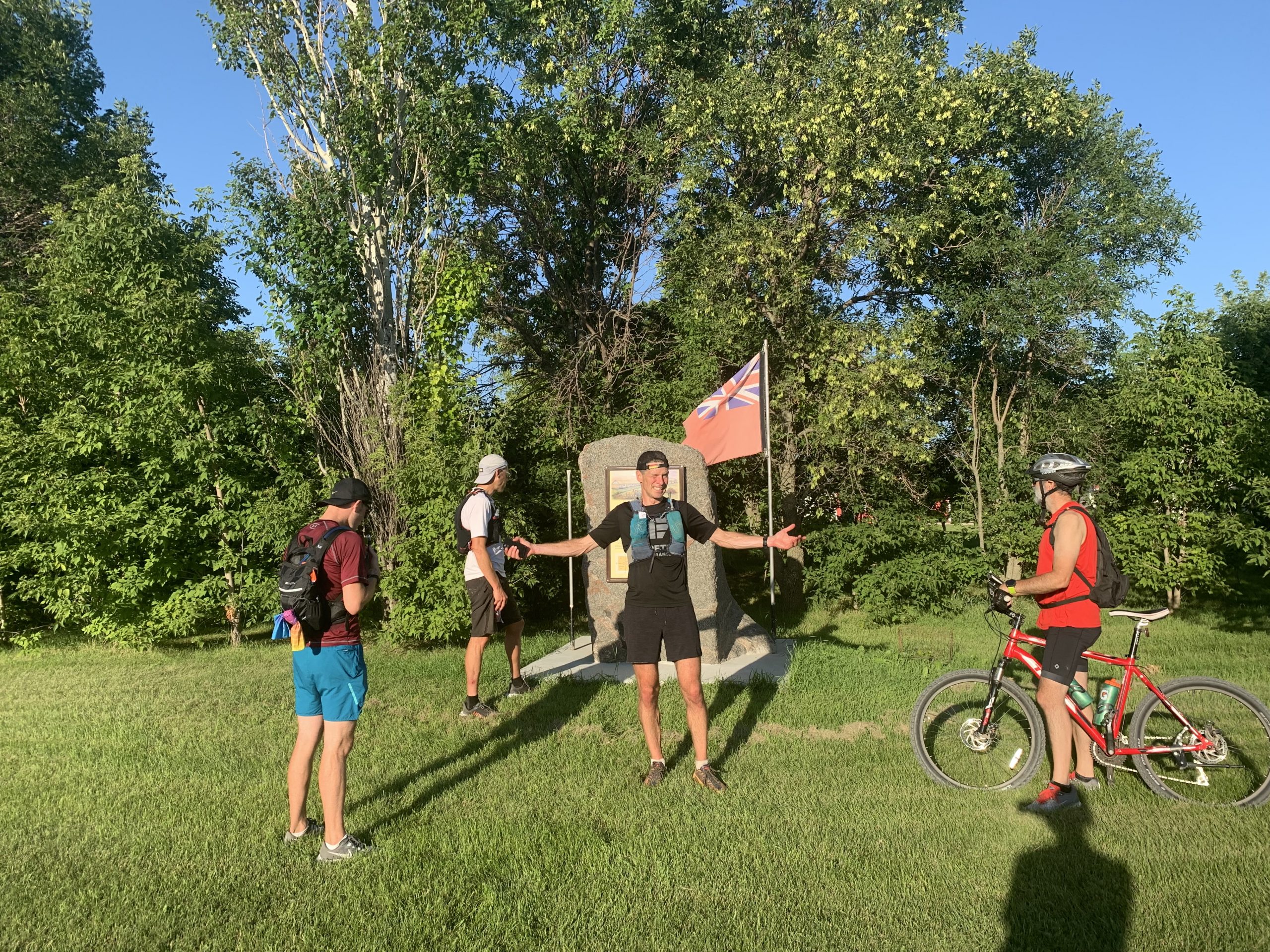
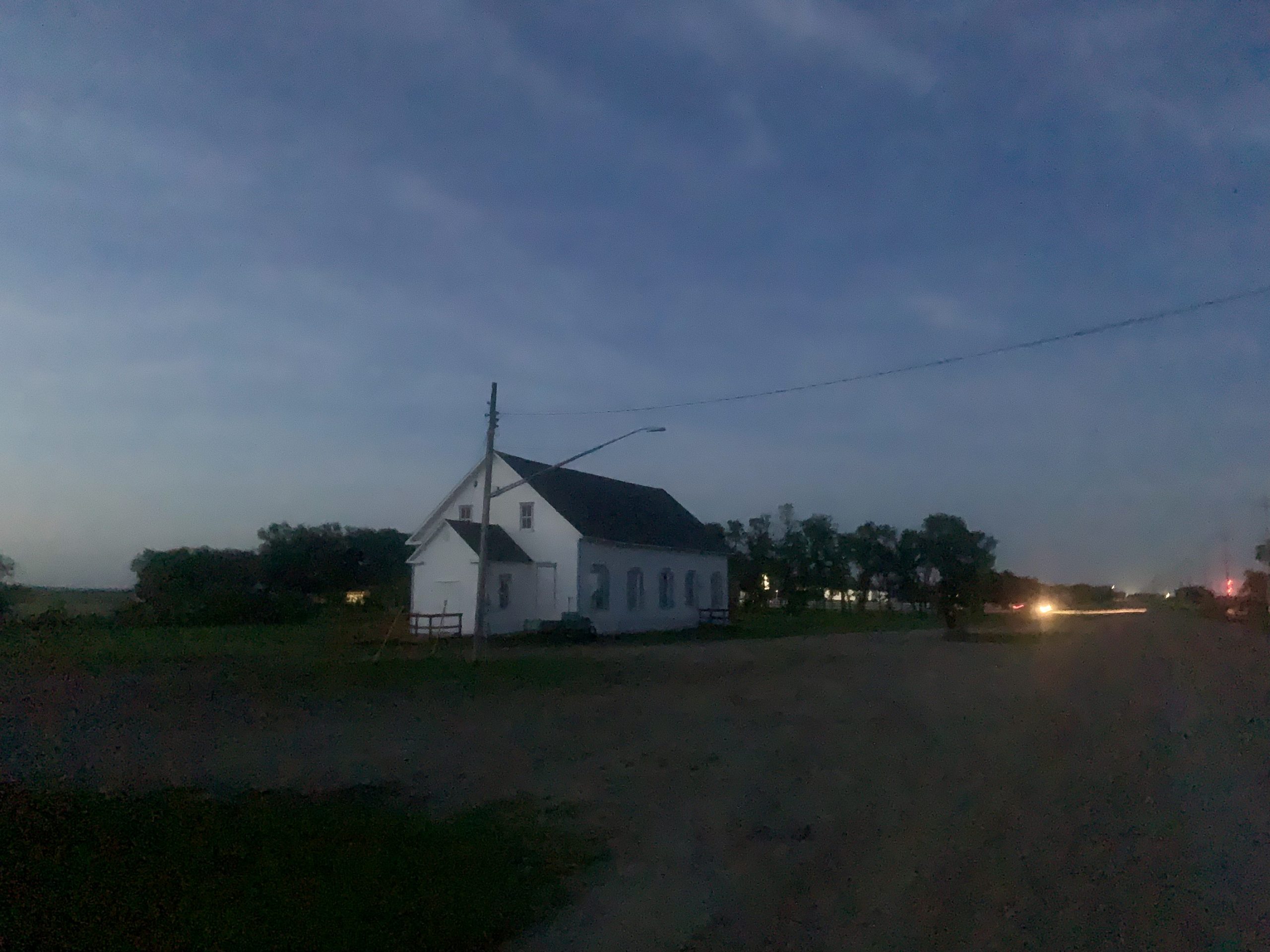
This year, some of those questions were answered. The Peace Trail led us to a couple new monuments, The Métis Lot Plaques, and, new in the last year, the Shantz Immigration Sheds.
The Métis Lot Plaques pointed out the place where land distribution switched from the Métis “river lot” system, to the start of the Canadian government’s land surveys, which cut the prairie up into mile squares we’re familiar with across much of southeast Manitoba. The land survey was actually one of the issues which instigated the Red River Rebellion in 1869, and the plaques in the middle of the field ushered us right into the story which formed the province of Manitoba over 150 years ago.
Then at the Immigration Sheds, we learned how Jacob Shantz had hired local Métis men to build the sheds in anticipation of the coming immigrants. So it turns out, someone really was here, calling this place “home”, long before my ancestors came slipping through the muddy riverbanks in 1874…
Slower is smaller
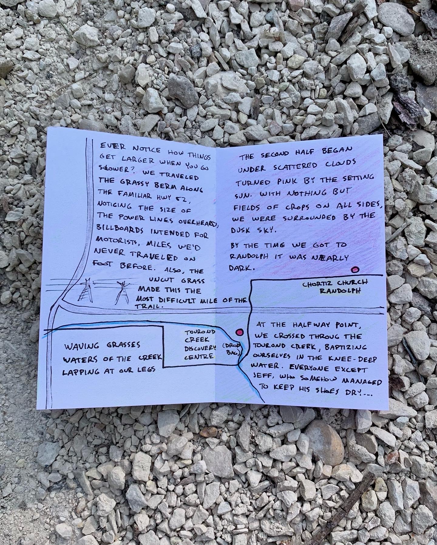
The trail followed the grassy berm along the Tourond Creek beneath towering power lines. When we reached the intersection of Hwy 59 and 52, often traveled by car, never on foot, I was struck by how large the place felt when your feet are on the ground. The slower you go, the larger the world becomes, and the smaller you feel.
One more mile
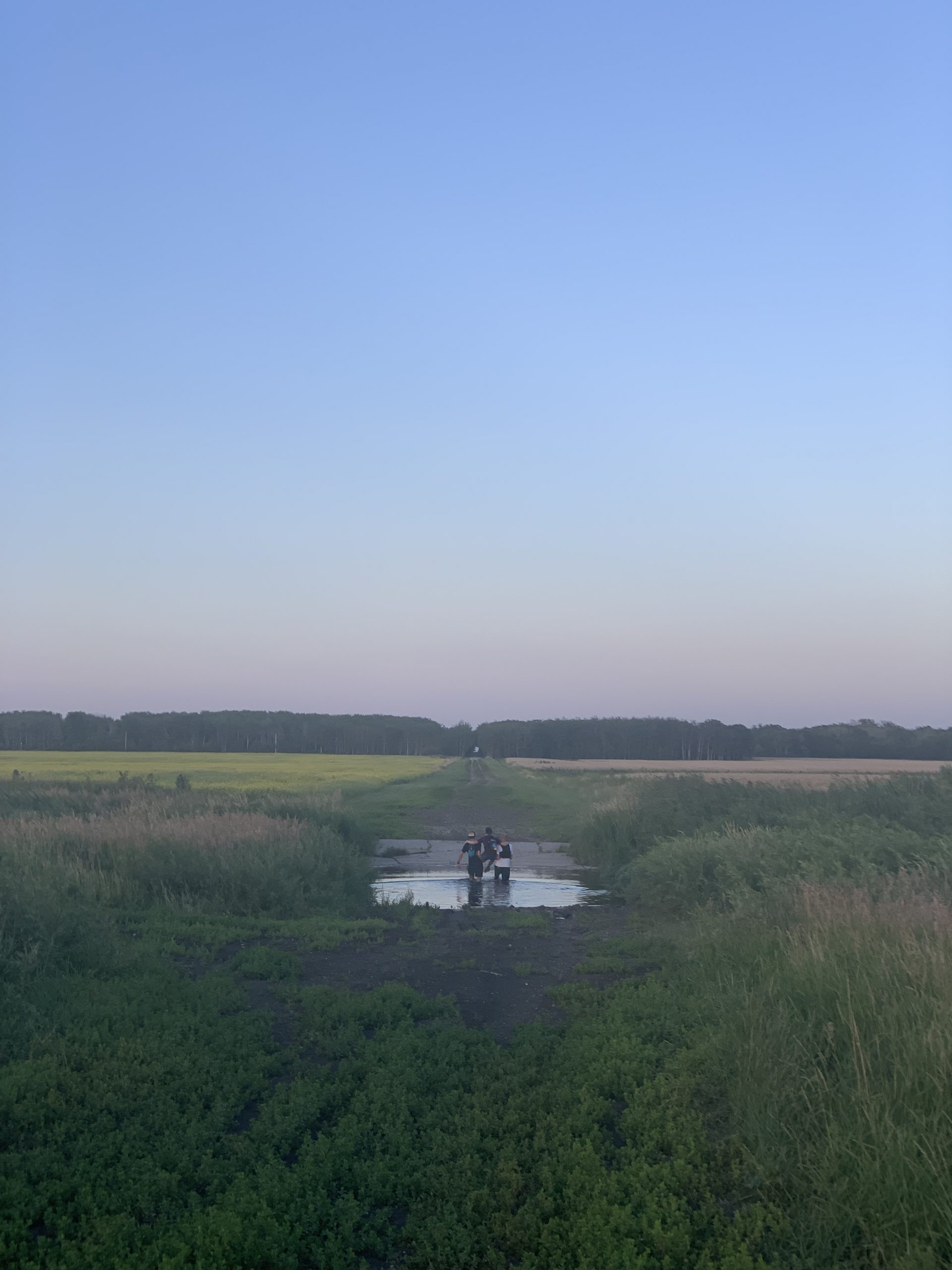
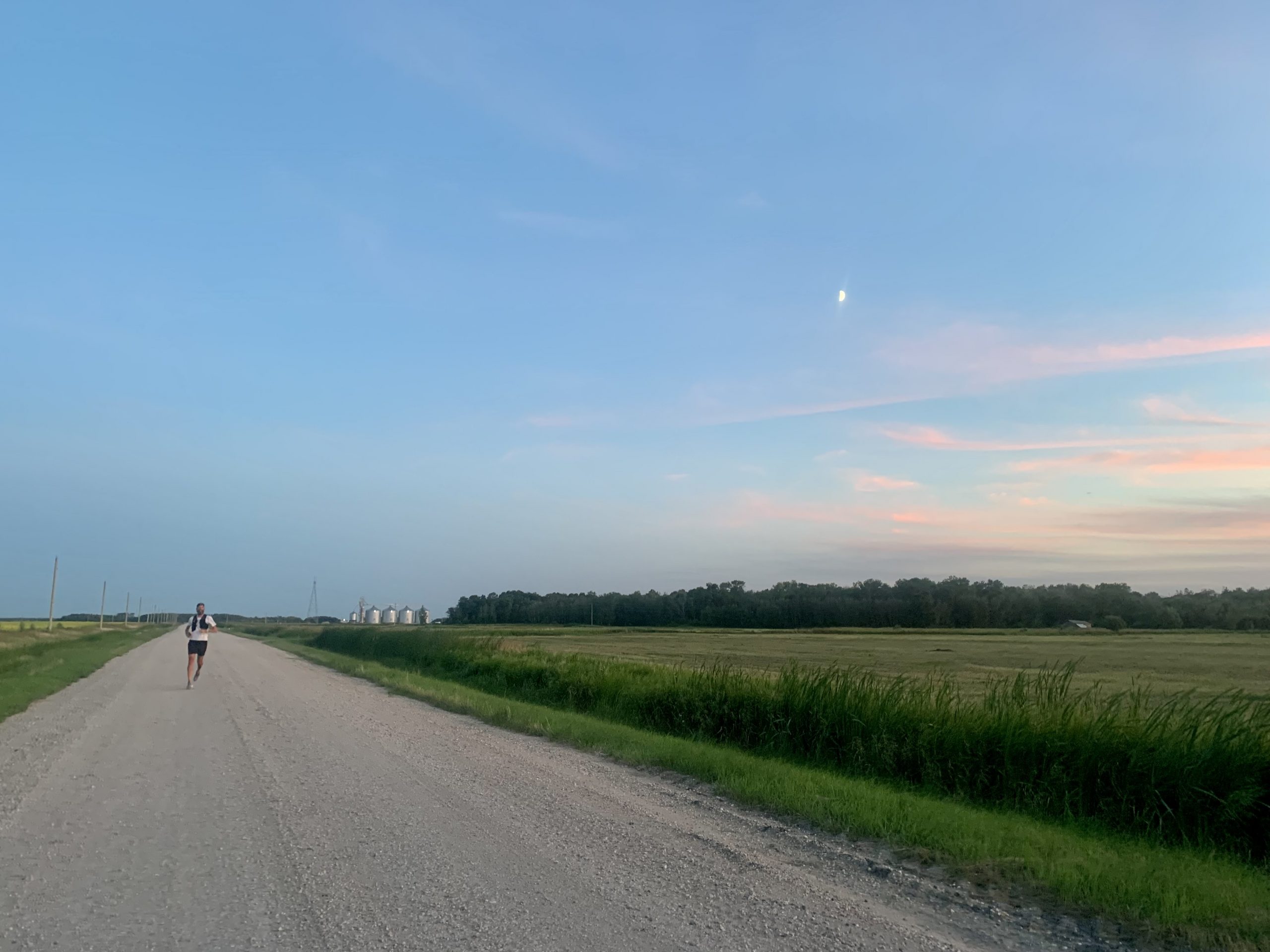
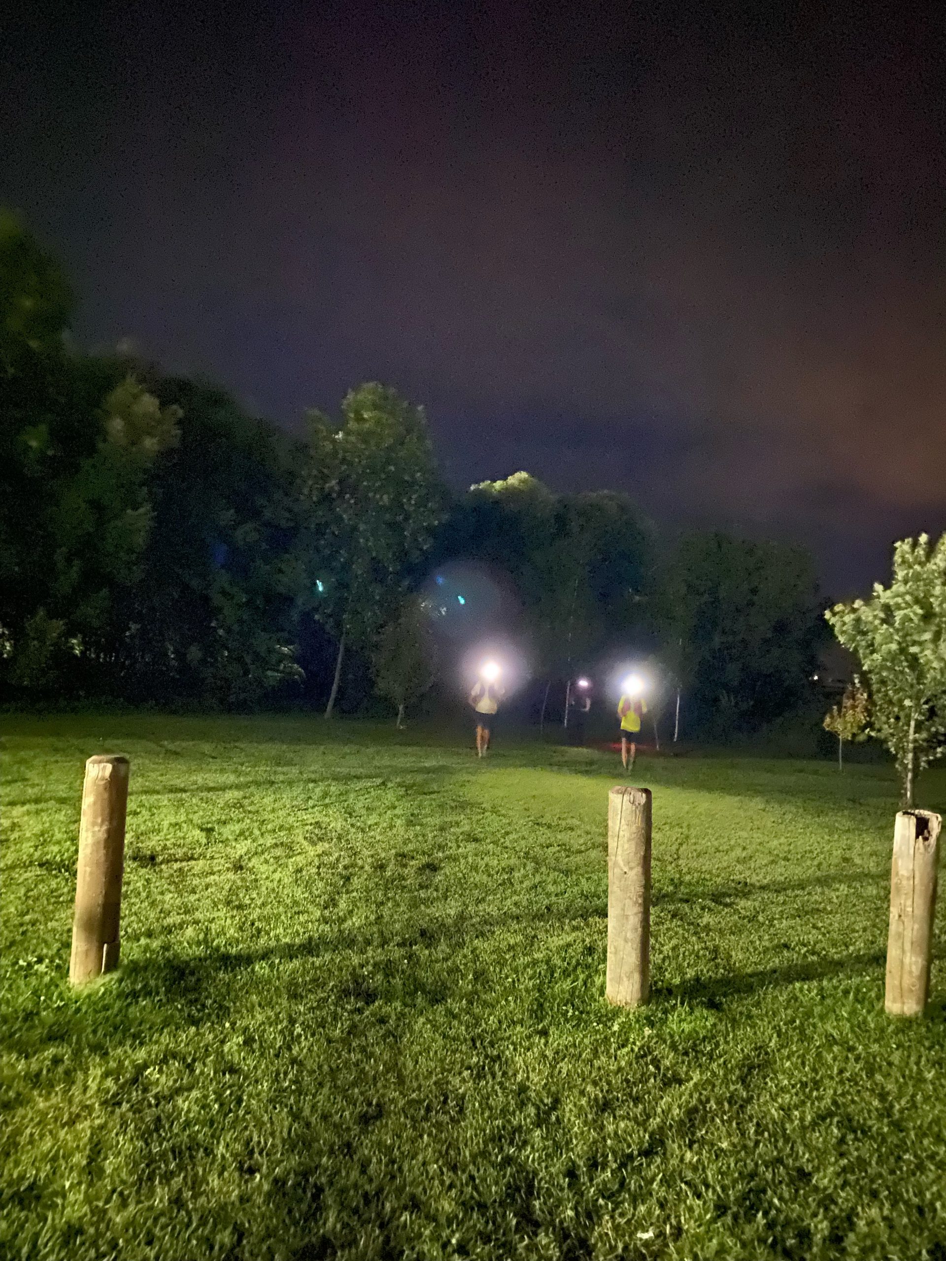
Starting at 6:15PM for a roughly 5-hour trek, we knew we’d be finishing in the dark. Kind of an exciting idea until it actually in it. The sunset was incredible, but by the time we passed Randolph it was basically dark. Nothing left to do but finish. The stars weren’t very bright due to light cloud, and I found my eyes searching the edge of my headlamp beam for each mile road. Our last mile, would be a challenge, but I looked forward to seeing the sign for Keating Rd, a sign of being very close to home.

The Blind Creek trail
I’m really excited for the future development of the Blind Creek trail. Currently one of the few places you can hear the sound of running water in our little town, the quaint trail tucks itself behind big box stores in a little natural oasis (threatened, of course, by encroaching development). The proposed trail runs between farmed fields and the creek for a mile out of town. When we arrived at the (future) trail head, we were greeted by the smiling face and headlamp of Gary Dyck, who had offered to guide us through this tough stretch of (future) trail.
If you didn’t haiku about it, it didn’t happen…
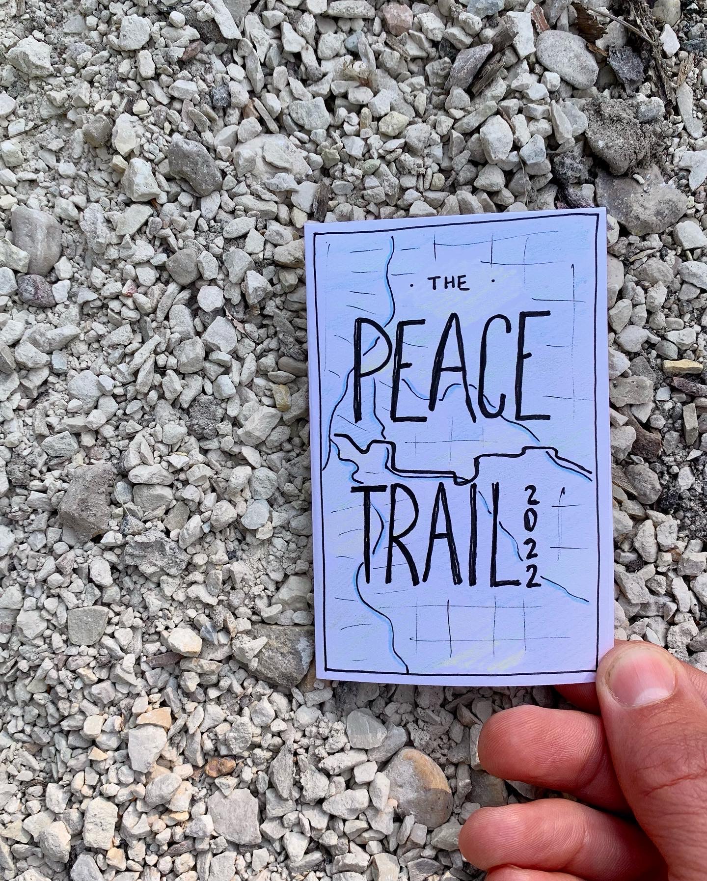
In classic runhaiku fashion, I created a little zine about the adventure (originally posted on runhaiku.com).
Thanks
Thanks to a crazy bunch of adventurers who turn wacky ideas like this into reality time and again (Greg, Gord, Jeff, Rick, Mike, Devyn). And to our wives and families who helped out, joined us at points, and helped nurse us back to health afterwards (only half-kidding?). And thanks to Gary, Executive Director of the MHV, for the intel, support, and last mile guidance, and to the Peace Trail Committee for all the work in building this trail and teaching us about this history of this place we call home.