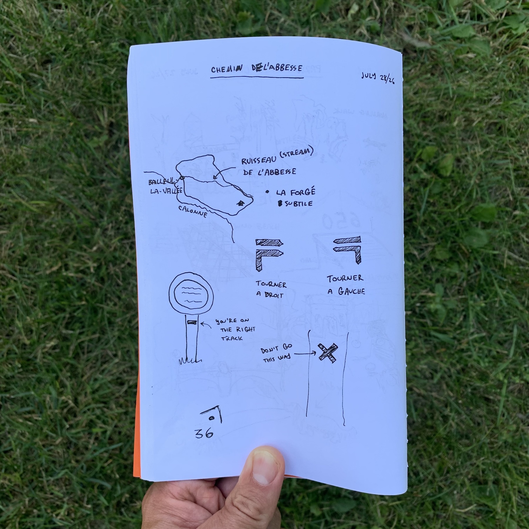
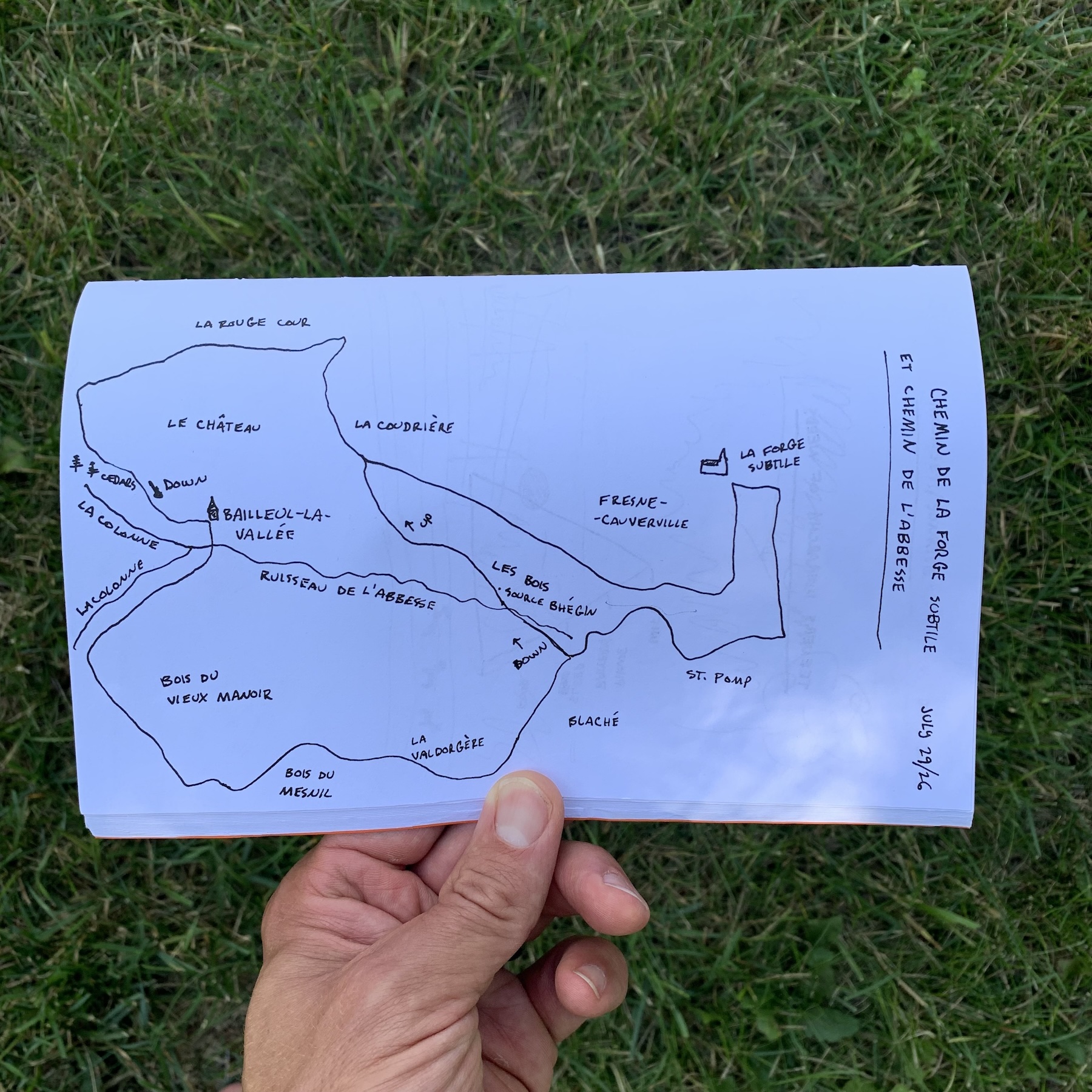
In hindsight, when my wife called to check in when I was gone longer than expected on my morning run, instead of, “I’m fine, just taking a little longer than expected,” I might more accurately have stated, “I’m lost.”
In my defense, at the time I thought I had been lost (past tense), but was no longer lost because I’d found trail markers.
It was shortly after I hung up I realized the markers were leading me away from home rather than towards it.
Follow the yellow arrows
On our first day in our rental house in the farmed and forested hills of Normandy, I asked the owner if there were any trails in the area.
“Yes, actually there’s a great 8km route going right past here. Just follow the yellow arrows.”
Excited, the next morning I tied up my running shoes, and in full optimism and naivety set out to find this rail. For an 8km run I wouldn’t need a water bottle, but fortunately brought my phone “just in case” I needed some navigation help.
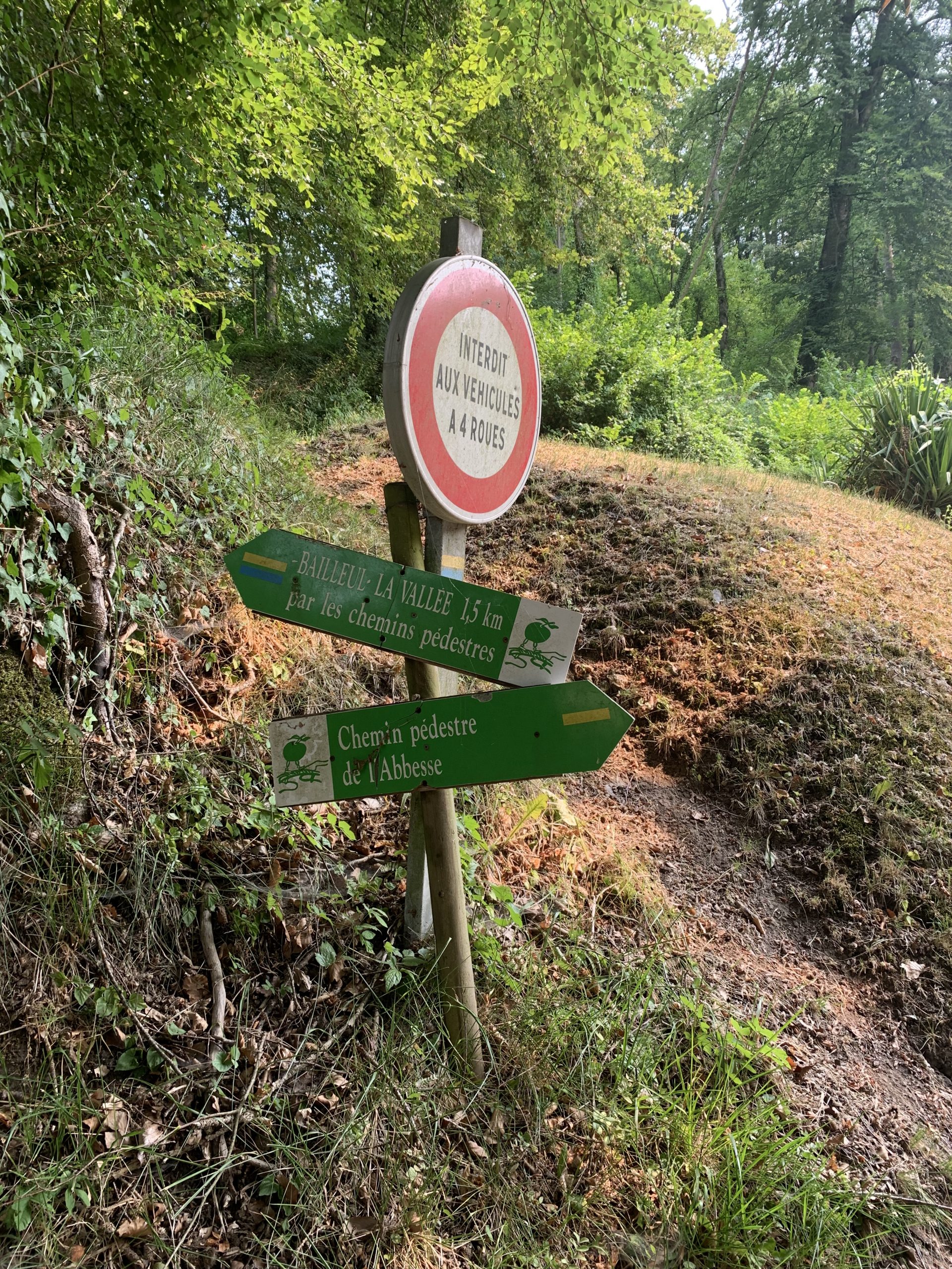
The first challenge was finding said arrows. I had no idea what they looked like, and when I finally found yellow arrows, large and on wooden stakes (“obvious”), I followed them excitedly, not realizing they were marking a different dirt bike trail on a completely different route.
Chemin de l’Abbesse
An hour-and-a-half and about 15km later, after blindly following both orange AND yellow arrows, and painted markers on asphalt, I finally dropped into the little village of Bailleul-la-Vallée, where things started to come together. At least the first part.
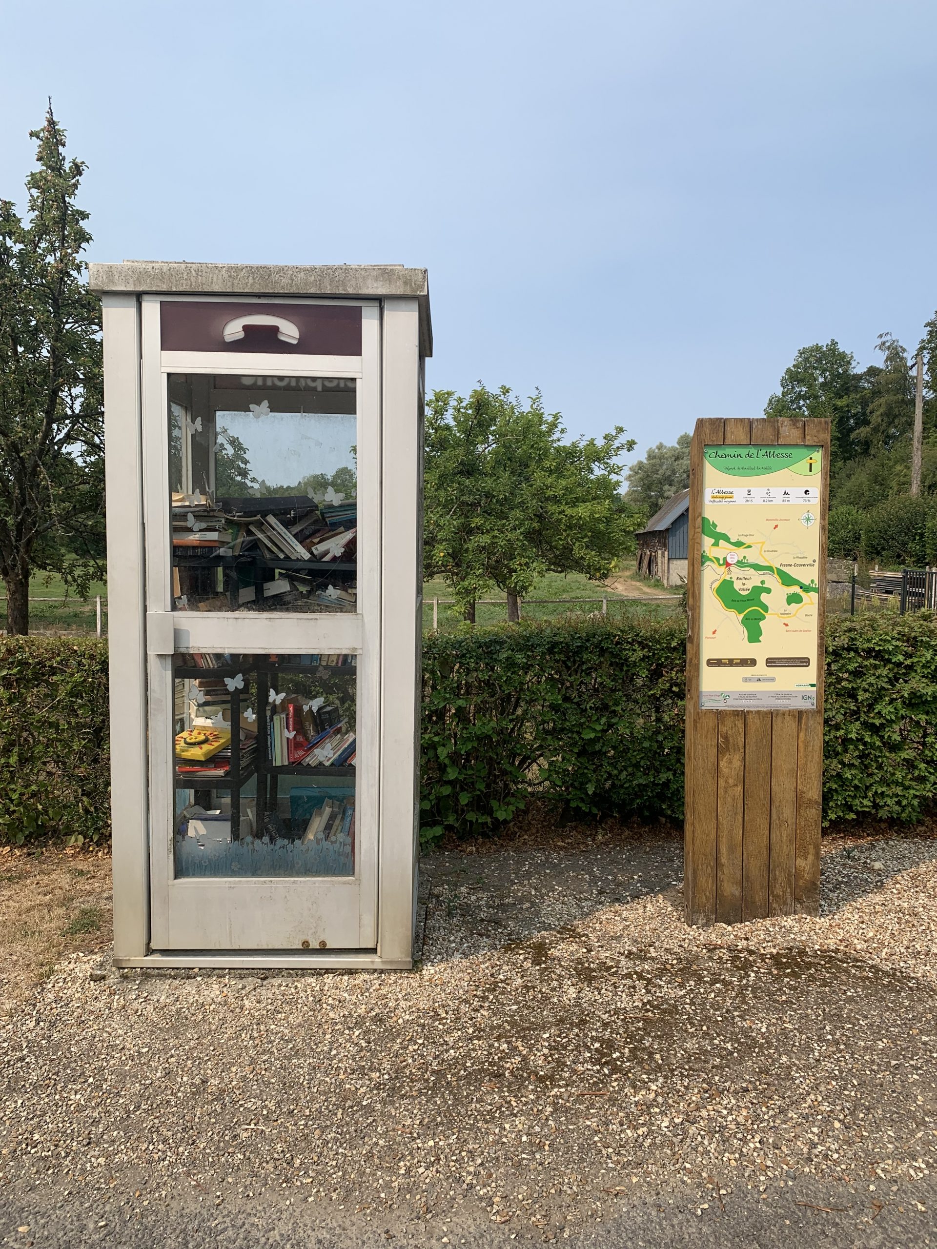
A map! This finally explained that yes, this was indeed an 8km route (apparently I’d found a detour), but also indicated what kind of yellow markers I should be looking for. Enlightenment!
I bounded down the road in fresh confidence, not realizing I’d soon be borrowing water and kids’ snacks from fellow foot travelers within the next hour.
Two kinds of lost
There are two kinds of lost. The first is being off the trail. The second, more common and more deceptive, is being on a trail, but the wrong one.
This is where, in the words now part of family lore, and often attributed to my uncle, “I’m not lost, I just don’t know exaaaaactly where I am.”
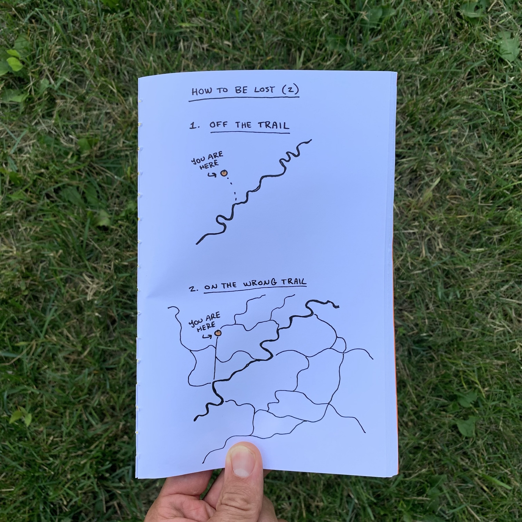
What the map gave me was an understanding of the route, but it didn’t clarify the other routes I might encounter, nor give me a sense of which valley was mine vs one leading me further from home.
I continued on, along beautiful valley streams, dunking my hat every so often to cool off. I even found a spot to dunk my entire body into the cool clear water.
Aidez moi
About the point my wife called is when I realized I might be off track again. Too many yellow arrows pointing away from home. Mixed with blue arrows. (As it turned out, I’d again been led astray by the dirt bike trail arrows.)
After hanging up, I turned back to catch up with a family out for a hike.
I finally did it. I asked for help.
Once we settled on Dutch as the most shared language between us, they offered me their kids’ water bottle and chewy candy, while also producing a paper map (I scanned the QR code, and while my poor reception kept it from loading, it gave me a thread to pull on for future research). We all gathered ’round Google Maps and agreed on my best path home, taking the the more boring but more certain paved road home.
Learning the signs
Over the course of our week in this beautiful area, I studied maps and re-traced routes till I got an understanding of the trail markers, and was able to navigate a few routes in the valley. Members of my family even entrusted me with navigation on some sunrise walks, where we listened to church bells peel and watched roe deer picking at the morning fields.
Wiser, I also brought water along.